WEATHER
72 HOURS OUTLOOK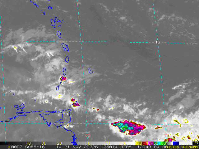 A tropical wave is crossing the islands and a few scattered showers can be expected across St. Vincent and the Grenadines tonight. A low-level shear-line is expected to maintain unstable conditions with light to moderate rain and pockets of heavy showers this afternoon. Reduced shower activity is expected during the night, as the shear-line drifts southward across our islands. Isolated showers may linger across SVG on Sunday and a few showers are likely again by evening. Patches of Saharan dust linger across our area, occasionally creating slight hazy conditions. Fresh to occasionally strong (~30 – 45 km/h) easterly breeze could gusts near 55 km/h overnight. Wind speeds are expected to increase near 50km/h by Saturday evening and turn east north-easterly, gradually decreasing and varying in direction on Sunday. Moderate (~20 – 30 km/h) easterly breeze is expected Monday. Moderate sea-conditions are across our islands, near 1.5 m on western coasts and 2.5 m on eastern coasts with easterly sea-swells. Swell heights are expected to rise during Saturday, ranging 1.8 – 2.5 m on western coasts and nearing 3.0 m on eastern coasts by Saturday afternoon. Small-craft operators and sea-bathers can expect moderate to rough conditions with gusty winds…Swell heights could start falling late Sunday, becoming slight to moderate (1.2 – 2.0 m) across SVG by Monday afternoon. Behind the tropical wave last night, the low-level shear-line quickly moved into our area earlier this morning with light to moderate rain and pockets of heavy showers in some areas. Unstable conditions are expected to continue across St. Vincent and the Grenadines today, Saturday. Residents and motorists should exercise caution in areas prone to flash-flooding and land-slides, or near rivers and streams.
|
JSR CommunicationsWe offer the best, yet most affordable business; Individual support and publishing services. Archives
August 2021
Categories
All


|
 RSS Feed
