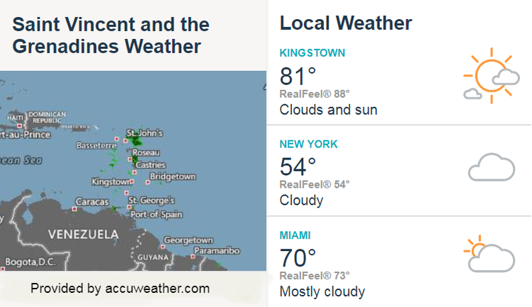
 A low to mid-level trough feature, under favourable upper-level enhancement, has been generating cloudy to overcast skies, pockets of moderate to heavy showers, periods of rain and isolated thunderstorms across St. Vincent and the Grenadines during the overnight hours. Some stations across St. Vincent have already recorded as much as four inches (100mm) of rainfall during the last 9 hours and there is the possibility of further rainfall accumulations of at least 50 to 75 mm {2 to 3 inches} over the next 12 hours as the activity persists. Thus, a Flood –Warning has been issued. This Warning will remain in effect until 6:00 p.m today, Sunday. Residents in flood prone areas and areas prone to land slippage should take all necessary precautions and remain on the alert. A Flood-Warning means that flooding is imminent or is already occurring. The Barbados Meteorological Services and the Saint Vincent and the Grenadines Meteorological Services will continue to monitor and this warning may be extended if necessary. Prepared by Desiree Neverson-Jack
|
JSR CommunicationsWe offer the best, yet most affordable business; Individual support and publishing services. Archives
August 2021
Categories
All


|
||
 RSS Feed
